


Proud to be working with these amazing partners.
Peryton Aerial Surveys do not just fly drones. We offer bespoke aerial and ground digital survey solutions that achieve any given goal.
We pride ourselves in thoroughly understanding you and your needs, and then creating a tailored solution built from our suite of professional micro services.
Safety, compliance, trust and value is at the core of everything that we do.
We're More Than Just Drones
What Can We Do For You?
Aerial 2D Mapping
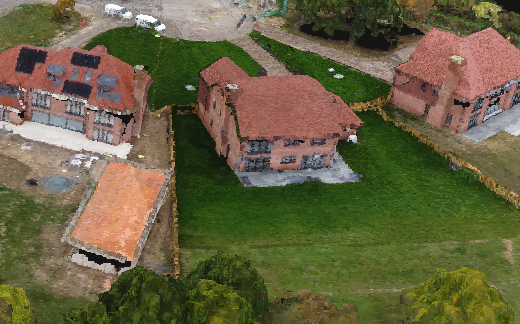
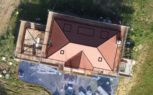
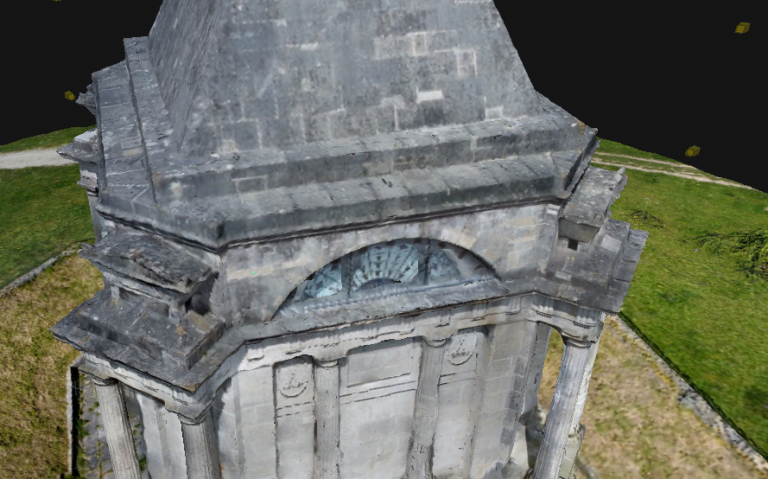
Aerial 3D Modelling
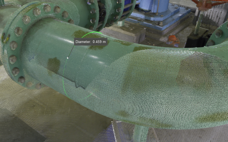
Infrastructure Inspections
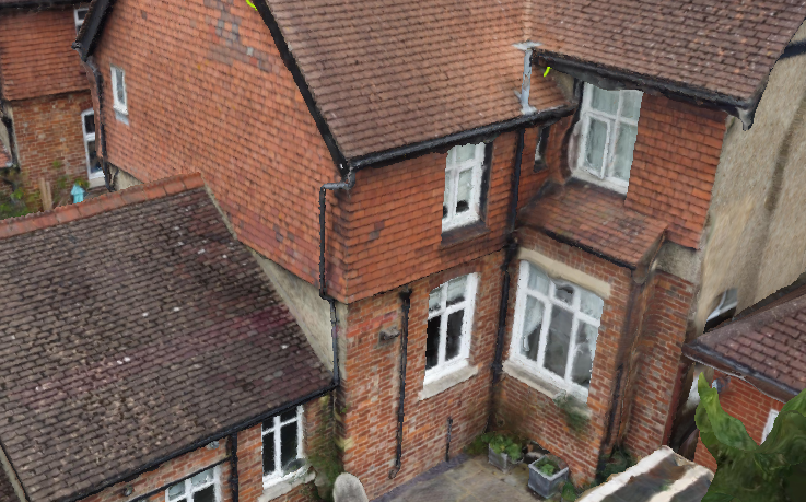
3D Laser Scanning
Meshing Services
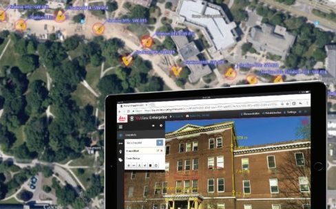
Managed Cloud Services

Training Services
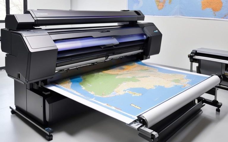
Large Format Printing
Latest News